Karnataka is a land blessed with a diverse geography and varied climatic zones, which influence its water resources and river systems. The state plays an important role in India’s irrigation landscape due to its many river basins and annual rainfall patterns. A clear understanding of the river systems and water resource distribution helps in effective planning for irrigation and water conservation.
Table of Contents
Geographical Overview of Karnataka
- Total Area: 1,91,791 sq km
- Rank in India: 7th largest
- Location: Deccan Plateau
- Elevation Range: 450 m to 900 m above sea level
- Highest Peaks:
- Mullayyanagiri – 1913 m
- Kudremukh – 1981 m
Important Hill Ranges
- Western Ghats – Biodiversity hotspot, high rainfall zone
- Baba Budan Ranges – Rich forest cover
- Chitradurga Hills – Semi-arid landscape
Climatic Variation in Karnataka
- Western Region:
- Very humid
- Heavy rainfall from monsoons
- Includes Malnad and coastal areas
- Eastern Region:
- Semi-arid climate
- Low and irregular rainfall
- Includes drought-prone districts
Rainfall Details
| Region | Rainfall (Approx.) |
|---|---|
| Dakshina Kannada (Coastal) | 4000 mm |
| Bijapur, Raichur, Bellary | 500 mm – 600 mm |
Water Resources in Karnataka
Karnataka has both east-flowing and west-flowing rivers. The total estimated average annual yield from these rivers is 107,493 million cubic meters (M.cum), or 3796.1 thousand million cubic feet (TMC).
River Systems and Yield
| Sl.No | River System | Estimated Yield (M.cum) | Yield (TMC) | Share (%) |
|---|---|---|---|---|
| 1 | Krishna | 27,451 | 969.44 | 25.53 |
| 2 | Cauvery | 12,162 | 429.50 | 11.31 |
| 3 | Godavari | 1,415 | 49.97 | 1.32 |
| 4 | West-Flowing Rivers | 65,532 | 2314.25 | 60.96 |
| 5 | North & South Pennar, Palar | 932 | 32.91 | 0.86 |
| Total | | 107,493 | 3796.1 | 100 |
Economically Usable Water for Irrigation:
- Volume: 48,000 M.cum
- Equivalent: 1695 TMC
Major River Systems of Karnataka
- Krishna River
- Originates in Maharashtra
- Flows through north Karnataka
- Important for the northern districts’ irrigation
- Major projects: Almatti Dam, Narayanpur Dam
- Cauvery River
- Originates in Kodagu (Western Ghats)
- Flows through southern Karnataka
- Vital for Mandya, Mysuru, and Bengaluru Rural
- Key projects: KRS Dam, Kabini Reservoir
- Godavari River
- Flows marginally in northeastern Karnataka
- Small catchment in the state
- Limited contribution to state irrigation
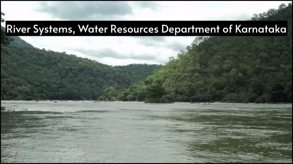
- West-Flowing Rivers
- Originates in the Western Ghats
- Flows towards the Arabian Sea
- Includes Sharavathi, Netravati, Kali, Aghanashini
- Major share of water resources, but limited for irrigation due to the rain
- Pennar and Palar Rivers
- Flows through the southern districts
- Seasonal and with limited water availability
- Used locally in drought-prone areas
River Basins in Karnataka
| River Basin | Main Rivers | Location in State |
|---|---|---|
| Krishna Basin | Krishna, Bhima, Ghataprabha | Northern Karnataka |
| Cauvery Basin | Cauvery, Kabini, Hemavathi | Southern Karnataka |
| Godavari Basin | Manjra, Lendi | Northeastern edge of the state |
| West Flowing Basin | Netravati, Sharavathi, Kali | Western Ghats to coastal Karnataka |
| Pennar Basin | North & South Pennar, Palar | Southeastern Karnataka |
Irrigation in Karnataka
- Main Projects:
- Krishna Basin: Upper Krishna Project
- Cauvery Basin: KRS, Hemavathi, Kabini
- West Flowing: Limited due to terrain
- Challenges:
- Uneven rainfall distribution
- Limited water in the eastern districts
- Need for micro-irrigation and water harvesting
Water Conservation Initiatives
- Check Dams: Built in dry zones to store rainwater
- Rainwater Harvesting: Promoted in urban and rural areas
- Tank Renovation: Traditional tanks restored under government schemes
- Lift Irrigation Projects: Designed to transport water to upland regions
Problems in Water Management
| Issue | Description |
|---|---|
| Seasonal River Flow | Most rivers are monsoon-fed and dry up during summer |
| Inter-State Water Disputes | Major conflicts on the Krishna and Cauvery rivers with neighboring states |
| Groundwater Overuse | Over-dependence on borewells in semi-arid districts |
| Soil Erosion | Deforestation and farming practices reduce water retention in catchment areas |
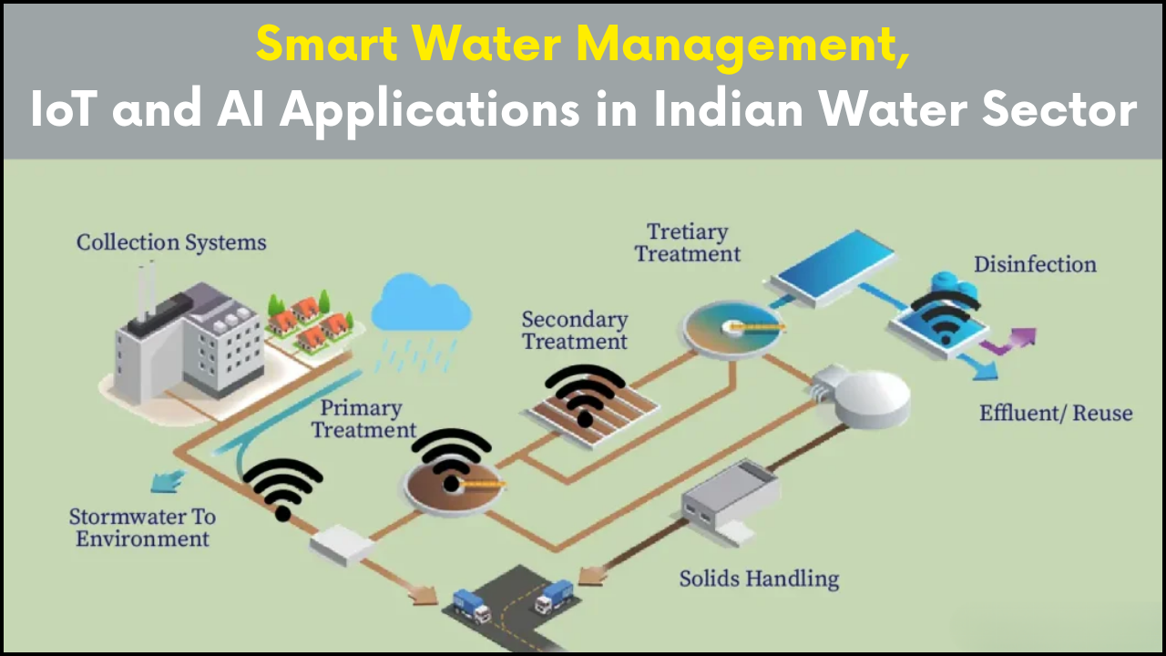
Recent Steps by the Water Resources Department
- Digitization of Water Data
- Command Area Development
- Promotion of Water-Efficient Crops
- Use of Satellite Imagery for Monitoring
- Interlinking of River Projects
Unique Features of Karnataka’s Water System
- High Water Yield from West-Flowing Rivers
- Diverse Climatic Zones Affect Water Availability
- Multiple River Basins within One State
- Contributions to National Irrigation Output
The Bottom Line
Karnataka stands out for its rich network of rivers and diverse geography. While water resources are abundant in certain regions, uneven distribution and changing climate patterns create serious challenges. The Water Resources Department continues to focus on sustainable irrigation, inter-basin management, and technological advancements to ensure that both farmers and cities get access to water when it is most needed. Proper planning and efficient use of resources are essential for Karnataka to maintain a balance between growth and conservation.